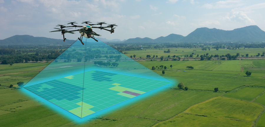
Aerial mapping drones are becoming increasingly popular in a variety of industries due to their many benefits. From surveying and construction to agriculture and environmental monitoring, aerial mapping drones are providing new opportunities for businesses to improve their operations and efficiency.
Increased Accuracy and Speed:
Traditional surveying methods can be time-consuming and often result in errors. Aerial mapping drones, on the other hand, can cover large areas quickly and accurately, using high-resolution cameras and advanced mapping software. This enables businesses to complete projects faster and with greater precision, saving time and money.
Enhanced Safety:
Conducting surveys and inspections from the ground can be dangerous, particularly when working in hazardous environments. Aerial mapping drones allow businesses to access hard-to-reach areas safely, reducing the risk of accidents and injuries to workers.
Real-time Data Collection:
Aerial mapping drones can collect data in real-time, providing businesses with instant access to information. This allows them to make decisions and take action quickly, improving their ability to respond to changing conditions and opportunities.
Improved Environmental Monitoring:
Aerial mapping drones are helping organizations to better monitor and protect the environment. By collecting high-resolution images and data, drones can be used to track changes in land use, monitor wildlife populations, and detect environmental threats.
Cost-effective:
Compared to traditional surveying and mapping methods, aerial mapping drones are a cost-effective solution. They reduce the need for labor-intensive, time-consuming activities, while providing businesses with accurate and detailed data.
Unlock the potential of your projects with Aeroyantra's cutting-edge aerial mapping services. Our expert team utilizes advanced photogrammetry techniques to transform ordinary images into detailed 3D models that provide unmatched accuracy and insights. Whether you're in real estate, construction, or environmental monitoring, our aerial mapping solutions cater to your unique needs, delivering high-quality data that enhances decision-making. Experience the future of mapping and elevate your projects to new heights with Aeroyantra. Visit https://www.aeroyantra.com/ to learn more about our innovative services today!
ReplyDelete